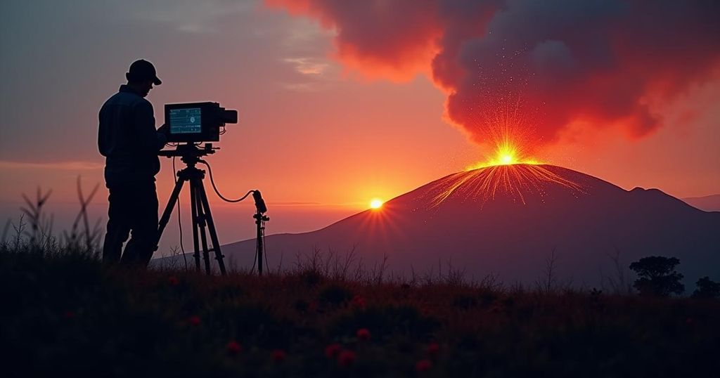
Scientists Enhance Monitoring at Mount Adams Amid Surge in Seismic Activity
Scientists have deployed temporary monitors at Mount Adams, Washington, due to an unusual spike in seismic activity, with six earthquakes recorded in September 2024 alone. The US Geological Survey currently does not consider the activity alarming but will analyze data from new monitoring stations to determine if further actions are necessary.
In response to an unprecedented increase in seismic activity at Mount Adams in central Washington, scientists have taken precautionary measures by deploying temporary monitoring stations in the region. Ordinarily, this stratovolcano might experience only one earthquake every two to three years; however, September 2024 recorded an astonishing six tremors, marking the highest monthly total since monitoring commenced in 1982. There is currently only one permanent seismic monitor stationed nearby. The newly installed temporary stations aim to provide researchers with improved means of evaluating the recent seismic events. Although current analyses from the United States Geological Survey (USGS) Cascades Volcano Observatory indicate that the earthquake activity does not warrant immediate alarm, the data gathered from these instruments will assist in determining whether further action is necessary by the USGS and the Pacific Northwest Seismic Network. Mount Adams, located approximately 50 miles southwest of Yakima and 30 miles north of the White Salmon-Hood River area, is classified as a “high-threat” volcano, primarily due to the potential threat it poses to nearby communities and infrastructure. According to USGS representatives, the most significant risk associated with Mount Adams stem from lahars—mudflows that can occur during both eruptive and non-eruptive periods. Historic evidence suggests lahars produced from landslides on the volcano’s southwest flank have previously reached as far as the Trout Lake area, occurring around 6,000 and 300 years ago, respectively. More recent landslide events prompted smaller avalanches in 1921 and 1987, impacting areas within a few miles from the summit. Despite its classification, the volcano has not exhibited explosive activity in recent history, with the last known eruption occurring between 3,800 and 7,600 years ago. Furthermore, Mount Adams is notable for being the largest active volcano by both size and volume in the state of Washington, landing it a critical spot among geological observations in the Cascades Range.
Mount Adams is a prominent stratovolcano positioned in the Cascade Range of Washington State. The volcano has been historically characterized by relatively low-frequency eruptions and seismic activity, leading to its classification as a “high-threat” volcano due to its potential for generating devastating lahars. The recent rise in seismic activity represents a significant concern, prompting experts to enhance monitoring efforts to ensure timely assessments of potential hazards. Its geographical prominence, located south-central Washington, and its considerable size and volume, further accelerate the urgency to observe this landscape closely.
In summary, Mount Adams exhibits an unusual elevation in seismic events, necessitating the installation of temporary monitoring stations by scientists to gauge the implications of this activity. While no immediate threats have been identified, the situation remains under careful evaluation. The volcano’s history of generating lahars and its significant size underscore the need for vigilant monitoring to predict future volcanic behavior and protect nearby populations.
Original Source: www.fox13seattle.com


Post Comment