Hurricane Milton: Live Forecast Insights from Dr. Ryan Truchelut of WeatherTiger
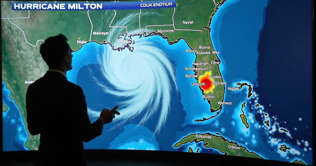
Hurricane Milton, a category 3 storm, is expected to make landfall near Sarasota between 11 p.m. Wednesday and 2 a.m. Thursday. Meteorologist Dr. Ryan Truchelut from WeatherTiger is providing live updates and analysis to keep residents informed of storm developments and safety measures. He emphasizes the importance of accurate information amid this severe weather event, aiming to mitigate impacts on affected communities.
Hurricane Milton is being diligently monitored by meteorologist Dr. Ryan Truchelut of WeatherTiger, who is providing real-time updates and analysis as the storm approaches the Sarasota region of west-central Florida. Milton is categorized as a strong category 3 hurricane and is anticipated to make landfall between the hours of 11 p.m. on Wednesday and 2 a.m. on Thursday, bringing with it hazardous winds and an extensive storm surge that may result in unprecedented devastation for this area of Florida. Dr. Truchelut stated, “Hurricanes Milton and Helene are likely to go down as one of the most devastating one-two statewide punches of all time.” He emphasizes his commitment to delivering accurate and urgent information to ensure public safety during this impending disaster. In an effort to keep the public informed, Dr. Truchelut will conduct a livestream forecast at 1:30 p.m. on the day of the storm. During this session, he will discuss the latest developments concerning the path, timing, and potential impact of Hurricane Milton, which include surge, wind, and rain conditions across the state. This forecast can be accessed across various media platforms affiliated with the USA TODAY NETWORK, such as the Tallahassee Democrat and the Sarasota Herald-Tribune. Following the 1:30 p.m. session, he intends to resume updates around 2:30 p.m. detailing current conditions and projected threats specific to various regions. Dr. Ryan Truchelut is not only the Chief Meteorologist at WeatherTiger but also brings two decades of experience in hurricane forecasting, having liveblogged numerous significant hurricanes including Irma and Michael. His dedication during such events is underscored by a personal connection to the impacted regions, as he has friends and family in areas affected by hurricanes. As the situation continues to evolve, Dr. Truchelut will frequently update the public with the latest advisory information from the National Hurricane Center and local weather services with the intent of maintaining safety and preparedness for those in the storm’s path. His message is clear: while the challenges ahead are daunting, a collective effort will ensure resilience in the face of adversity. “We’ll get through this together with heart and hustle. Keep watching the skies.”
Hurricane Milton poses a significant threat to Florida’s west-central coast, particularly the Sarasota area, where it is expected to make landfall as a category 3 hurricane. Meteorologist Dr. Ryan Truchelut of WeatherTiger is providing live, detailed forecasts to keep residents informed of the storm’s trajectory and potential impacts. His expertise, combined with years of live blogging experience during previous hurricanes, allows him to offer crucial insights essential for public safety.
In conclusion, Hurricane Milton is on a path toward the Sarasota area, and the community is urged to stay informed through Dr. Ryan Truchelut’s live updates and forecasts. His commitment to providing accurate and timely information will be vital for the safety of those in the storm’s path, as they prepare for potentially devastating effects. Unity and preparedness are paramount in navigating the challenges posed by this hurricane.
Original Source: www.tallahassee.com


Post Comment