Current Status of Invests 94L and 95L: Florida Remains Safe for Now
The National Hurricane Center is tracking Invests 94L and 95L; neither is expected to impact Florida. 94L may bring rain to Puerto Rico and Hispaniola while 95L could affect Central America and Mexico. No tropical development is projected for the next ten days, but ocean conditions indicate potential activity late in October. Floridians should remain vigilant as the hurricane season continues until November.
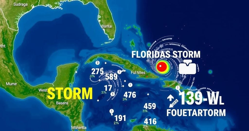
The National Hurricane Center is currently monitoring two areas of interest, designated Invests 94L and 95L, but both do not pose a threat to Florida at this time. Invest 94L is predicted to bring significant rainfall to Puerto Rico and Hispaniola, while Invest 95L may affect Central America and Mexico. Importantly, forecasts indicate no tropical development is expected in the next ten days, providing reassurance to those recovering from Hurricanes Helene and Milton. Meteorologists from Colorado State University project only a small chance for development from these two invests, although they note potential for future activity in the western Caribbean later this month. Wind shear conditions are expected to be favorable for cyclone formation as we approach the end of October, suggesting that further monitoring is warranted. In the meantime, despite the current low formation chances for both 94L and 95L, it is vital for Floridians to remain vigilant as the hurricane season is still active until November 30. Although late-season major hurricanes are rare in Florida, it is essential to stay informed about changing weather conditions. As a summary of the current situation: Invest 94L and 95L are being monitored with no immediate threats; potential further developments may arise later in October, warranting continued vigilance among residents in hurricane-prone areas.
Hurricane season runs annually from June 1 to November 30 in the Atlantic basin, typically peaking around September 10. The National Hurricane Center (NHC) designates areas of low pressure under observation as “invests” for potential development into tropical cyclones. Recent advisories highlight that while Invests 94L and 95L are being tracked, their formation into tropical storms is unlikely. Current climatic conditions have shown little indication of immediate tendency toward hurricane development, providing a temporary respite for residents in affected areas. Nevertheless, historical data indicates that precaution is necessary at all stages of the hurricane season.
In summary, while the National Hurricane Center is monitoring Invests 94L and 95L, both are not expected to threaten Florida directly. The absence of anticipated tropical development over the next ten days offers a brief moment of relief for those recovering from recent hurricanes. As the season progresses, it is crucial for residents to remain aware and prepared for any eventualities, especially with signals of possible development in the western Caribbean towards the end of October. Continued vigilance is advisable as the hurricane season is still active, and historical patterns suggest that late-season storms cannot be entirely ruled out.
Original Source: www.news-journalonline.com


Post Comment