Potential Formation of Tropical Storm Patty as NHC Tracks Tropical Waves
The National Hurricane Center is monitoring three tropical waves that may develop into Tropical Storm Patty by early November. With prevailing conditions likely to support the formation of a depression or storm, areas such as Florida and Central America should remain vigilant as the Atlantic hurricane season progresses.
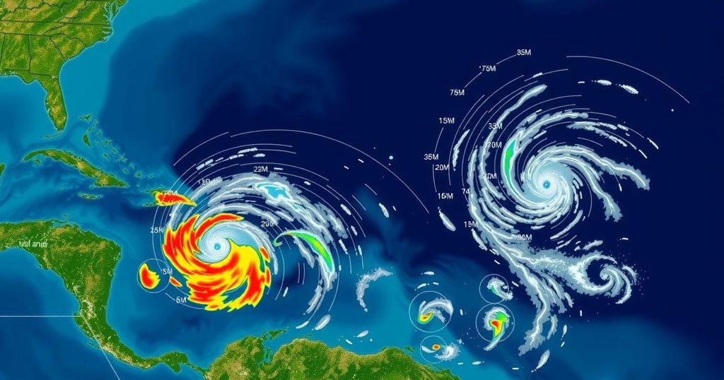
The National Hurricane Center (NHC) is monitoring three tropical waves in the Atlantic basin that could potentially develop into Tropical Storm Patty as late October and early November approach. Following a relatively quiet period after Hurricane Milton’s landfall in Florida, AccuWeather forecasts that the Central American Gyre may facilitate the formation of a tropical depression or storm during this timeframe. According to meteorological experts, the primary areas of concern for tropical development are typically the Caribbean, Gulf of Mexico, and the southeastern coast of the United States. The three tropical waves currently being monitored include one positioned just east of the Windward Islands, a second in the central Caribbean, and a third originating near the Cape Verde Islands, although none of these waves possess notable convection at this time. Understanding tropical waves is crucial, as they contribute to 85% of all tropical storm formations due to their capacity to generate clouds, rain, and storms. AccuWeather indicates that the conditions in the Caribbean Sea are ripe for such development, with warm water temperatures and low wind shear potentially fostering the emergence of a storm. Despite the uncertainty surrounding Tropical Storm Patty’s path, existing patterns suggest that late-season tropical storms often trend towards Central America or follow a northern trajectory towards Cuba, Hispaniola, and the Bahamas. In terms of atmospheric conditions, a surface ridge south of the Florida Panhandle is generating light to moderate easterly winds, while the Caribbean experiences enhanced winds and conditions due to the tropical waves at sea. This dynamic weather interplay will influence both the Gulf of Mexico and Caribbean Sea.
The Atlantic hurricane season runs from June 1 through November 30, and following the passage of Hurricane Milton, the NHC has identified multiple tropical waves that serve as indicators for potential tropical storm formation. These waves, which are atmospheric disturbances typically arising over warm ocean waters, play a critical role in the genesis of tropical storms and hurricanes. As such, they warrant close monitoring, especially in the context of significant weather events capable of impacting regions such as Florida and Central America. The Central American Gyre, a recurring meteorological feature, also plays a substantial role in the behavior and development of these tropical systems.
In conclusion, Tropical Storm Patty may be on the horizon as the National Hurricane Center continues to monitor three tropical waves in the Atlantic basin. With favorable conditions expected in the following weeks, including warm water temperatures and low wind shear, the potential for a tropical depression or storm formation remains significant. Residents along the Gulf and Caribbean coasts are advised to stay informed about the latest developments in the tropics, as the paths of late-season storms often lead towards impactful regions. Understanding the nature of tropical waves and the influences of weather systems like the Central American Gyre will be paramount in anticipating the future movements and potential impacts of storms.
Original Source: www.pnj.com


Post Comment