Weather
95, AFRICA, ALBERTA, ALBERTA CLIPPER, ARI SARSALARI, BUFFALO, BURKINA FASO, CANADA, CHICAGO, CLEVELAND, DAKOTA, DAKOTAS, ERIE, FOX FORECAST, FOX WEATHER, FOX WEATHER METEOR, GAMEPLAY, GREAT LAKES, GREEN BAY, INTERSTATE 95, MINNEAPOLIS, NEW ENGLAND, NEW YORK, NEW YORK CITY, NONE, NORTH AMERICA, NORTH DAKOTA, NORTHEAST, OHIO, PA, PENNSYLVANIA, RAIN, RECREATION, SYRACUSE, TIER, UNITED STATES, WEATHER, WEATHER FORECAST
Michael Grant
0 Comments
Alberta Clipper Set to Deliver Snowfall Across Twelve States
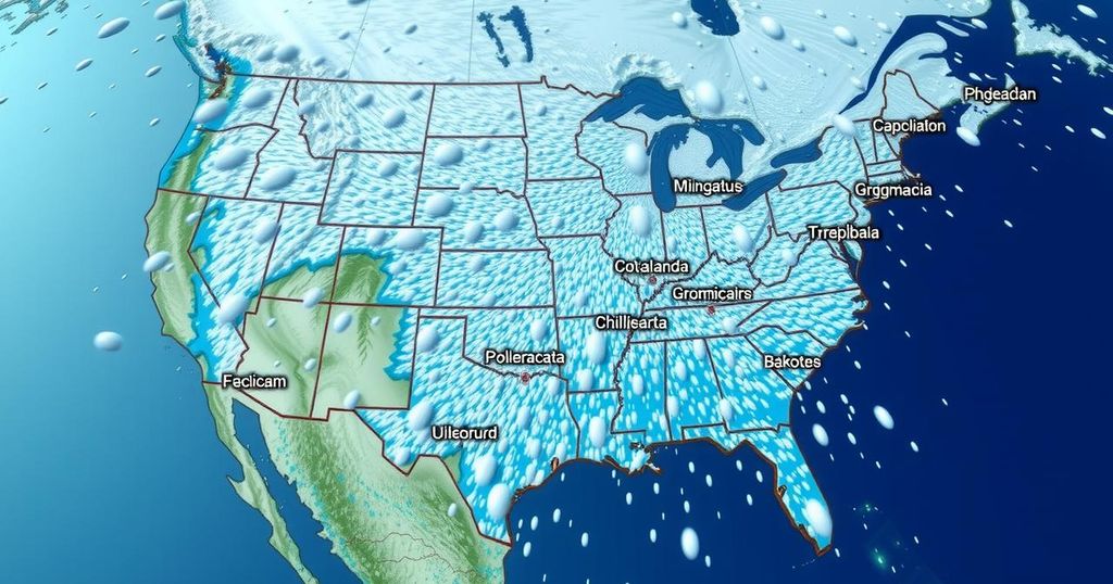
An Alberta Clipper originating from Canada is set to bring snowfall to over twelve states, starting Wednesday and moving from the Dakotas to the Northeast. Areas already burdened by snow may experience additional accumulation. Meteorologists predict the system will move quickly, with temperatures affecting snowfall levels, particularly in New York City.
A meteorological phenomenon known as an Alberta Clipper is expected to impact more than twelve states from the Dakotas to the Northeast later this week. This fast-moving low-pressure system, originating from Alberta, Canada, will begin its progression on Wednesday, moving through North Dakota and into the Great Lakes region before reaching the Northeast by Thursday. Areas already burdened with significant snow from recent lake-effect storms, such as Buffalo and Syracuse, will likely experience additional snowfall from this system.
The FOX Forecast Center anticipates that this Alberta Clipper will deliver several inches of snow across its path. Meteorologist Ari Sarsalari remarked on the phenomenon, explaining, “What we have coming through a little bit later on this week is actually a bigger storm system. It’s a fast-mover. It’s not going to be very strong, but it’s a clipper, and it means that it’s going to dump snow over a pretty large area.”
In Erie, Pennsylvania, lake-effect snow will persist until Tuesday, followed by further snow accumulation from the clipper on Wednesday and Thursday. The anticipated storm may also extend snowfall as far east as the Interstate 95 corridor in the Northeast, contingent upon temperature conditions. It remains uncertain how much snow, if any, will fall in New York City, which is situated on the edge of the forecast area.
As temperatures in New York City are expected to remain in the lower 40s, snowfall accumulation appears unlikely. “Cold air is much denser. It’s drier. And so it takes a lot for a clipper to bring snow to New York City. You need the cold air in place,” noted FOX Weather Meteorologist Jane Minar. As the system moves through, gusty winds could exacerbate feelings of cold, with wind gusts reaching up to 30 mph in cities including Minneapolis and Chicago, further influencing wind chill factors.
An Alberta Clipper is a type of weather system characterized by a fast-moving area of low pressure that typically originates in Canada, specifically Alberta. These systems are known for bringing swift changes in weather, often resulting in rapid and widespread snowfall. The upcoming Alberta Clipper has the potential to impact multiple states, particularly in the northern tier of the United States, including areas already affected by heavy snow due to previous storms. Understanding this weather phenomenon is crucial for predicting snow accumulations and potential travel disruptions across the affected regions.
In conclusion, the impending Alberta Clipper is poised to bring significant snowfall across over twelve states, impacting areas already recovering from heavy snow events. As the system progresses from the Dakotas to the Northeast, careful monitoring will be necessary to gauge snowfall potential, particularly in cities like New York, where weather conditions remain uncertain. While this fast-moving storm may not be exceedingly strong, its expansive coverage warrants attention from residents and meteorologists alike.
Original Source: www.foxweather.com


Post Comment