Tropical Cyclone Chido: A Historic Storm Impacting Agalega and Beyond
Tropical Cyclone Chido struck Agalega on December 12, 2024, as the strongest cyclone in over 50 years. Originating in the Indian Ocean, it rapidly intensified before making landfall, with wind speeds reaching up to 222 km/h (138 mph). The cyclone is heading towards northern Madagascar, Mayotte, and Mozambique, prompting warnings for severe weather conditions in these regions.
Tropical Cyclone Chido made landfall on Agalega on December 12, 2024, marking its status as the most powerful cyclone in over 50 years to affect the island. Originating in the Southwest Indian Ocean Basin, it quickly intensified, showcasing winds that escalated from 111 km/h (69 mph) to 222 km/h (138 mph) within 24 hours. Following its impact on Agalega, Chido is projected to move towards northern Madagascar, Mayotte, and ultimately Mozambique, with significant weather disturbances expected in these regions. The cyclone’s rapid development illustrates the increasing intensity of tropical systems in recent years, prompting updates and advisories from meteorological services.
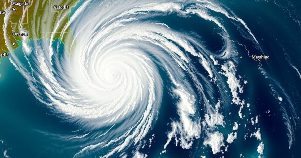
The cyclone formed on December 10, 2024, as the third named storm of the 2024/25 Southwest Indian Ocean cyclone season. It reached its peak intensity of winds exceeding 215 km/h (135 mph) and was characterized by a tight eye, evident in satellite imagery. The island of Agalega, home to approximately 330 residents, faced devastating impacts, with the storm being compared to Cyclone Andry from 1983, which caused significant destruction and loss of life. Chido will likely affect Madagascar and Mayotte on December 13 and 14 respectively, before making landfall in Mozambique on December 15, although its strength is expected to diminish due to cooler sea temperatures as it approaches these areas.
The developments surrounding Tropical Cyclone Chido are of particular concern given the historical context of cyclones within the Indian Ocean region. This season has already seen an alarming trend in the frequency and intensity of cyclones, which can be attributed to changing climate patterns. Authorities are emphasizing the importance of timely forecasts and preparedness in the wake of such catastrophic weather events. Tropical Cyclone Chido serves as a reminder of the potential hazards posed by cyclonic systems in vulnerable regions, as well as the necessary vigilance from both residents and meteorological agencies.
The Southwest Indian Ocean cyclone season has been marked by an increase in both frequency and intensity of tropical storms, which poses risks to islands and coastal regions. Tropical Cyclone Chido exemplifies these increasing threats as it rapidly intensified and made landfall as one of the strongest cyclones in decades. Historical cyclones such as Cyclone Andry, which occurred in 1983, have laid bare the vulnerability of areas like Agalega, necessitating heightened awareness and preparedness among populations in cyclone-prone regions. The meteorological community continues to monitor storm patterns closely, as such systems impact local economies, infrastructure, and communities profoundly.
In conclusion, Tropical Cyclone Chido has emerged as a significant meteorological event, impacting Agalega as the strongest system to strike the area in over 50 years. Its rapid intensification and projected path towards Madagascar, Mayotte, and Mozambique underscore the pressing need for continuous monitoring and preparedness against natural disasters. The cyclone’s behavior highlights a concerning trend in increasing tropical storm activity, necessitating vigilance and prompt action from authorities and residents alike.
Original Source: watchers.news


Post Comment