Weather
AFRICA, ALBERTA, ALEXANDRIA, BLAINE, CAMBRIDGE, CANADA, CENTER CITY, CHANHASSEN, CHASKA, CLIMATE, COSTA RICA, EAST CENTRAL, EGYPT, ELK RIVER, EUROPE, HASTINGS, LITTLE FALLS, LONG PRAIRIE, METEOROLOGY, MINNEAPOLIS, MINNESOTA, MONTICELLO, MORA, MPR, NATIONAL OCEANIC AND ATMOSPHERIC ADMINISTRATION, NORTH AMERICA, PRINCETON, RAIN, RED RIVER, RED RIVER VALLEY, SAUK RAPIDS, SHAKOPEE, ST CLOUD, ST PAUL, STILLWATER, THUNDERSTORMS, TWIN CITIES, UNITED KINGDOM, UNITED STATES, VICTORIA, WEATHER, WEATHER FORECAST
Michael Grant
0 Comments
Winter Storm Warning for the Twin Cities: Expected Heavy Snow Thursday
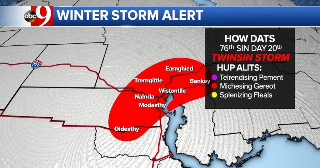
A significant winter storm is forecasted to impact the Twin Cities and surrounding Minnesota areas on Thursday, with snowfall predictions ranging from 5 to 7 inches, creating hazardous travel conditions for the morning and evening commutes. Forecast models suggest high certainty for accumulation north of the Twin Cities, while conditions may vary south of the area due to a dry slot.
The Twin Cities and several regions in Minnesota are bracing for a winter storm that is expected to deliver substantial snowfall on Thursday. A winter storm warning has been issued for much of the state, indicating that plowable snow is likely, particularly for areas north of the Twin Cities. Weather experts predict snow accumulations ranging from 5 to 7 inches, with travel conditions becoming increasingly hazardous during morning and evening commutes.
An Alberta clipper storm is expected to move through swiftly from northwest to southeast, with snow beginning in the Red River Valley and advancing towards the Twin Cities between 3 a.m. and 4 a.m. Forecast models indicate high confidence in significant snowfall accumulation extending north of the Twin Cities; however, snowfall totals may vary significantly just south of the area due to the potential for a dry slot.
Current predictions suggest a snowfall range of 3 to 7 inches for the Twin Cities and points northward, while a higher-end model anticipates accumulations of up to 10 inches. With evolving forecasts, it remains essential to monitor updates throughout Thursday, particularly for travel advisories and snowfall amounts.
The imminent winter storm affecting Minnesota, notably the Twin Cities, is a product of an Alberta clipper system, which is characterized by its quick progression from northwest to southeast. Such systems often yield significant snowfall within a condensed timeframe, which can lead to hazardous travel conditions. Winter storm warnings have been issued to alert residents of the potential impact on commuting and outdoor activities.
In summary, the Twin Cities are preparing for a major winter storm that is anticipated to bring substantial snowfall on Thursday, with totals between 5 and 7 inches likely, particularly to the north. Travel conditions are expected to be challenging, necessitating caution during commutes. As the situation develops, residents are advised to stay informed on changing weather patterns and potential travel disruptions.
Original Source: www.mprnews.org


Post Comment