Severe Weather Alert for Southeast Virginia: Final Weekend of 2024
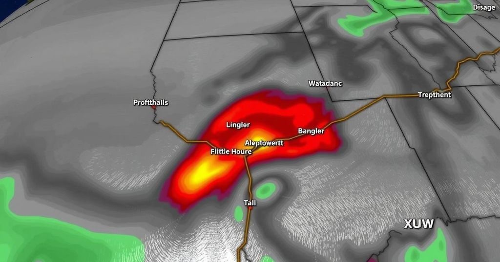
Southeast Virginia will transition from warm and dry conditions to severe thunderstorms on Sunday with risks of strong winds and isolated tornadoes. This severe weather is expected from 4 p.m. to midnight, followed by calmer conditions for New Year’s festivities. A new system will bring rain on Tuesday, with cooler temperatures returning as we enter 2025.
This weekend, weather conditions in Southeast Virginia experienced a slight transition from light showers to sunny and warm skies, with temperatures reaching into the 70s. As we look ahead to Sunday, there is a substantial risk for severe weather, specifically thunderstorms, expected late in the day. The Storm Prediction Center (SPC) has issued a level one (marginal) risk for severe storms in the area, with the primary hazards being strong wind gusts, and a very small chance of isolated tornadoes, primarily situated south in the Carolinas.
The expected timeline for showers and thunderstorms in southeastern Virginia is between 4 p.m. and midnight. Prior to that period, conditions will remain dry, contributing to unseasonably high temperatures and humidity, with readings forecasted in the 60s to near 70 degrees. Additionally, Small Craft Advisories will be mandated for all coastal waters from Sunday through early Monday, due to increasing southerly winds.
After the severe weather event, a brief respite is anticipated on Monday, bringing mild conditions and sunshine. However, a new weather system is expected to move swiftly across the region on Tuesday, likely bringing additional rainfall and the possibility of thunderstorms, particularly in northeastern North Carolina. Most rain is expected to conclude by Tuesday evening, allowing for clearer skies to ring in the New Year at midnight. The first day of 2025 is predicted to feature a return of sun but with significantly cooler temperatures, followed by dry yet colder weather in the subsequent days. A chance for precipitation may arise again next weekend.
This forecast addresses an extreme weather scenario developing in Southeast Virginia as we approach the last Sunday of 2024. The discussion includes the shift from pleasant weekend conditions to severe weather alerts, emphasizing the fluctuation in temperature and humidity levels. Understanding this weather pattern is critical for preparing for the risks posed by thunderstorms, including potential wind damage and isolated tornado formation.
In conclusion, the weather forecast for the last Sunday of 2024 indicates a significant risk for severe thunderstorms across Southeast Virginia. With heightened temperatures and strong winds in the forecast, residents should remain vigilant. Following this event, the region will experience calmer weather before entering the New Year, while keeping an eye on potential precipitation in the upcoming weekend.
Original Source: www.wtkr.com


Post Comment