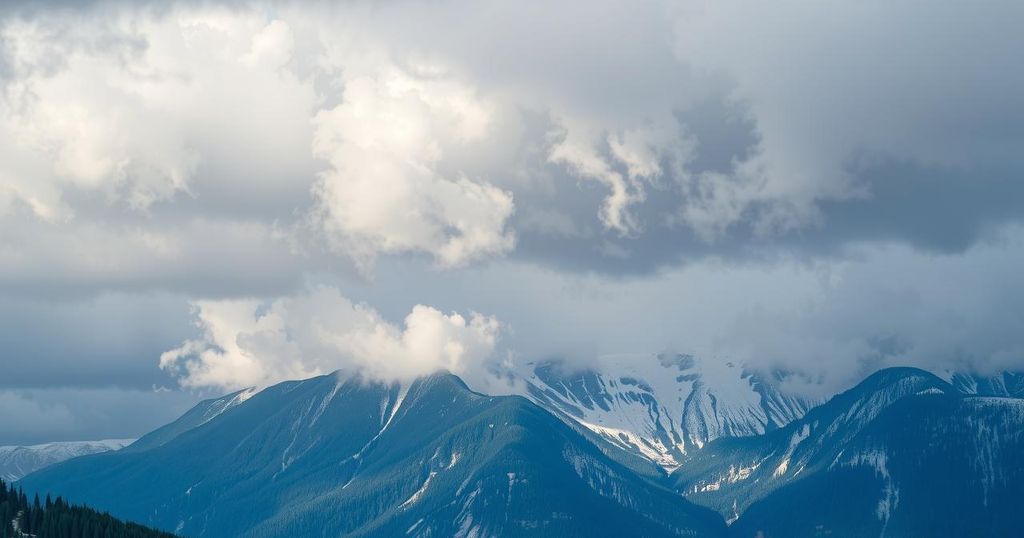
Winter Storm Warnings Issued for Northern Cascades and Blue Mountains
Winter storm warnings are issued for the northern Cascades and Blue Mountains, effective from 1 AM Sunday to 4 AM Monday, predicting significant snowfall of 7-15 inches and hazardous driving conditions. Snow levels are currently lower than predicted, with potential increases overnight. Despite a brief rise in snow levels, further precipitation is expected throughout the week, impacting local communities.
Winter storm warnings are in effect for mountainous regions, including the northern Cascades and Northern Blue Mountains, from 1 AM on Sunday to 4 AM on Monday, specifically above elevations of 3,500 feet. The warning indicates significant snowfall, with expectations of 7 to 15 inches in the Cascades and 10 to 15 inches in the Blue Mountains during periods of heavy snow, compounded by low visibility creating hazardous driving conditions.
As snow levels hover around 4,000 feet, slight variations from initial forecasts, which indicated snow levels at 4,500 feet, have impacted the predicted snowfall amounts considerably. Populated areas such as La Pine and Lava Butte, situated around 4,000 feet, have already reported approximately 3 inches of new snowfall. Forecasts anticipate that overnight, snow levels will rise to between 5,500 and 6,000 feet.
The warnings for the east slopes of Washington and Oregon Cascades, along with the northern Blue Mountains, will commence at 1 AM on Sunday and persist through Monday morning. The temporary increase in snow levels is expected due to cold air advection caused by an upper-level trough associated with a surface cold front moving eastward past the Cascades on Sunday afternoon. Following this front, the establishment of surface high pressure will lead to breezy to windy conditions.
By Monday afternoon, the upper trough is anticipated to exit the region, leading to a reduction in snow shower activity. Conditions will remain dynamic with several shortwave systems expected to generate precipitation despite the dominance of an upper-level ridge over the area. A notable precipitation event is forecasted for late Wednesday into Thursday.
Currently, widespread fog or low clouds are not anticipated; however, the emergence of patchy fog during, particularly heavy, rainfall events is plausible. The forecast for the Tri-Cities shows highs ranging from 46°F to 47°F from Sunday to Monday, while Yakima will experience slightly lower temperatures peaking at 43°F on Sunday and Monday.
Temperatures for both regions will subsequently dip lower midweek as conditions evolve, with additional precipitation expected as the pattern progresses.
The article discusses winter storm warnings for elevated areas in the northern Cascades and Blue Mountains, focusing on significant snowfall and driving hazards. Enhanced snowfall predictions highlight how small shifts in projected snow levels impact forecast accuracy, particularly affecting local communities. The analysis elaborates on the meteorological conditions that result in changing weather patterns, followed by an overview of temperature forecasts for key areas like the Tri-Cities and Yakima. Understanding the implications of these warnings is critical for local residents, especially for travel and safety planning.
In summary, the winter storm warnings indicate substantial snowfall and hazardous conditions for elevated regions beginning early Sunday morning until Monday. Predictions of snowfall rates and snow levels demonstrate how small variances can influence local weather forecasts significantly. As the weather pattern develops, residents in affected areas should remain vigilant and prepared for changing conditions and potential travel disruptions. A subsequent precipitation forecast for later in the week suggests continued inclement weather will persist.
Original Source: www.nbcrightnow.com


Post Comment