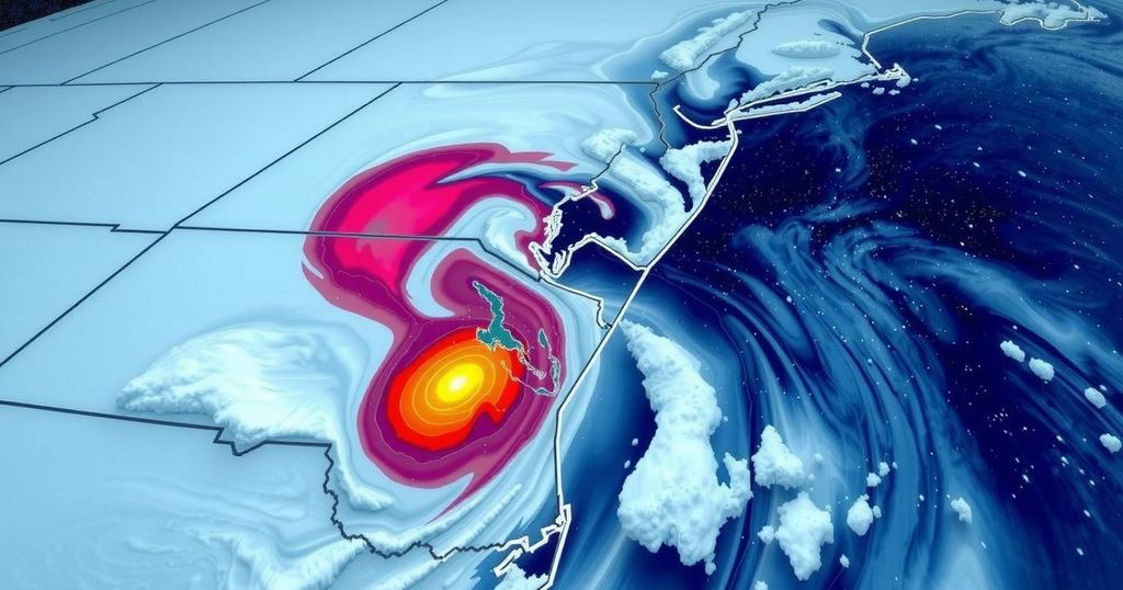
Winter Storm Forecast for Virginia: Snow, Sleet, and Ice Expected Late Sunday
A major winter storm is forecasted to impact Virginia from Sunday evening through Monday, bringing a mix of snow, sleet, and freezing rain. Initial precipitation may evaporate due to dry air, with snow expected to reach the ground later. The storm’s progression could lead to hazardous winter conditions, especially on untreated surfaces.
A significant winter storm is anticipated to affect Virginia from late Sunday evening through Monday. Winter storm watches are currently in place for central and northern Virginia, which are expected to escalate to winter weather advisories or warnings as Sunday progresses. The storm will initially introduce snow into the area on Sunday evening, although initial precipitation may evaporate due to prevailing dry air. Snow will likely reach the ground by late evening and continue until midnight.
As warmer air approaches, the snow is expected to transition into sleet, leading to accumulations of both snow and sleet overnight. This may be followed by freezing rain, where liquid rain freezes upon contact with sub-freezing surfaces. Transitioning temperatures on Monday may ultimately change precipitation to all rain in southern regions while retaining a wintry mix north of I-64. However, as the storm departs eastward late Monday, colder air will re-enter the region, likely converting any remaining precipitation back to snow.
Snowfall totals will be contingent upon the storm’s trajectory, currently forecasted to traverse the central and western United States. Minor shifts in the storm’s path could dramatically alter accumulations, with a 50-mile difference potentially resulting in locations experiencing either all snow or rain. Forecasts presently indicate snow and sleet accumulations Sunday night, with the potential for freezing rain to wash away some early snow while reapplying a hazardous icy coating on roads.
Sunday evening temperatures are expected to be just below freezing in the metro areas, but warmth will gradually increase as Monday progresses. Additional snow later in the day may add to total accumulations. Even with clearer conditions expected throughout the week, day temperatures will remain around freezing, likely leading to a thaw/freeze cycle from melting during the day to refreezing at night.
The situation remains fluid, and continuous updates regarding storm progress will be posted on our weather page.
Virginia is preparing for a major winter storm that is predicted to unfold late Sunday evening through Monday, with significant implications for travel and daily activities. The issuance of winter storm watches underscores the seriousness of the anticipated weather, prompting residents to prepare accordingly. The storm will bring a complex mix of precipitation types, including snow, sleet, freezing rain, and rain, which will vary across the state based on temperatures and the storm’s movement.
In summary, Virginia is bracing for a consequential winter storm expected to commence on Sunday evening, with varying precipitation types that could impact road conditions and safety. As warmer air infiltrates, transitions from snow to sleet and freezing rain are forecasted, with potential for hazardous conditions through early next week. Continuous monitoring of the storm’s progression is essential, as modifications in its path could drastically influence the weather outcomes across the state.
Original Source: www.wtvr.com


Post Comment