Weather
76, ADIRONDACK, AFRICA, ATLANTIC, BRANDON BUCKINGHAM, BULGARIA, CANADA, CHICAGO, CLEVELAND, CLIMATE, DAKOTAS, DETROIT, EUROPE, FORECAST, GREAT LAKES, GREEN, GREEN AND WHITE MOUNTAINS, INDIANA, MARYLAND, METEOROLOGY, MICHIGAN, MID, MIDWEST, MONTANA, NEW ENGLAND, NORTH, NORTH AMERICA, NORTH CAROLINA, NORTHEAST, OHIO, OHIO VALLEY, PENNSYLVANIA, PLOWA, RAIN, SOUTH AFRICA, TENNESSEE, TENNESSEE VALLEY, THUNDERSTORMS, UNITED STATES, UPPER PENINSULA, VIRGINIA, WEATHER, WEST VIRGINIA, WHITE, WISCONSIN
Oliver Grayson
0 Comments
Severe Winter Storm Forecast to Impact Travel Across Midwest and Northeast
A significant winter storm set to impact the Midwest and Northeast from February 5-6 will bring snow, sleet, and freezing rain, leading to hazardous travel conditions and potential power outages. Meteorologists warn of significant ice buildup and strong winds, with further storms expected thereafter, affecting regions from the Great Lakes to the East Coast.
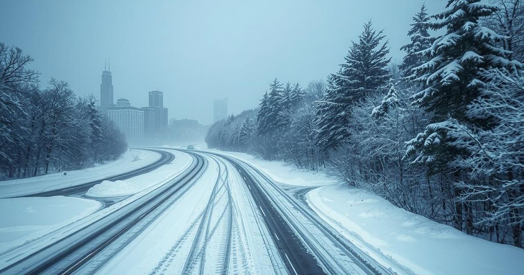
A severe winter storm is developing across the Midwest and Northeast, predicted to create hazardous travel conditions and increase the risk of power outages. Precipitation types will include snow, freezing rain, and sleet from February 5 to 6, affecting a broad area. Roadway and aerial travel disruptions are anticipated from the Midwest to the mid-Atlantic, as well as the New England coast due to icy conditions and strong winds following the storm.
Accumulating snow is set to advance from Montana and the Dakotas towards the Great Lakes and portions of Wisconsin and Michigan, which will also experience snowfall. Meanwhile, the storm’s warmer southern edge will bring rain and thunderstorms to the Tennessee Valley and North Carolina’s coastline, with the potential for hail and strong winds contributing to damage.
As this storm progresses, a mixture of rain and freezing conditions will occur, especially in urban areas like Chicago, Detroit, and Cleveland—which are expecting significant ice patches. AccuWeather Meteorologist Brandon Buckingham has cautioned that major metropolitan regions may experience hazardous icy conditions, particularly affecting commuters along busy interstate routes.
By Wednesday night, snowfall would mainly target mountainous regions in New England, while other areas along the I-95 corridor might receive lighter snow accumulations. Buckingham noted that if temperatures plummet sufficiently, the New York City area could witness a burst of snow right before Thursday morning’s commute, leading to potential travel difficulties.
Severe thunderstorms are also predicted on Wednesday across the Tennessee Valley, likely causing hail and adverse weather as they move northeast. Locations such as Nashville and Jackson in Tennessee may be at risk of these developing storms, leading to potential hazards late Wednesday.
As the storm moves on, wind gusts may exceed 40 mph across the Great Lakes region, posing visibility challenges due to drifting snow. Following this event, forecasts suggest a subsequent storm could impact the Northeast from Friday night into Sunday with similar weather disruptions expected, including snow, ice, and rain.
The article discusses an impending winter storm that poses risks such as icy travel conditions, power outages, and severe thunderstorms across the Midwest and Northeast regions of the United States. With the storm’s progression expected on February 5-6, it will encompass various types of precipitation that could disrupt daily activities and transit in affected areas. Understanding the characteristics and potential impact of such storms is vital for ensuring safety and preparedness.
In summary, the upcoming winter storm is projected to create widespread travel disruptions, hazardous road conditions, and possible power outages across the Midwest and Northeast. Areas experiencing freezing rain, snow accumulation, and strong winds should remain vigilant. The forecast indicates that another storm may follow closely behind, further compounding the potential for disruptions in the coming days.
Original Source: www.accuweather.com


Post Comment