Weather
AFRICA, APPALACHIAN, CHICAGO, CLEVELAND, CLIMATE, CNN, EXTREME WEATHER, FORECAST, GREAT LAKES, INDIANA, LOWER 48, MAINE, MARYLAND, MIDWEST, MISSISSIPPI VALLEY, MISSOURI, NEW ENGLAND, NORTH AMERICA, NORTHEAST, OHIO, PENNSYLVANIA, RAIN, SOUTH, SOUTH AFRICA, THUNDERSTORMS, UNITED STATES, US, VIRGINIA, WEATHER, WEST VIRGINIA
Oliver Grayson
0 Comments
Winter Storms Set to Impact Eastern U.S. in Extended Weather Pattern
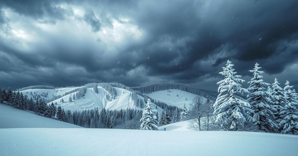
The eastern United States is expected to face consecutive winter storms, with significant ice accumulation and hazardous conditions from Missouri to Maine. The storms will impact travel and power infrastructure, with another storm following closely behind this week’s event, indicating a persistent winter weather pattern continuing into February.
The eastern United States is poised to face an extended period of winter storms, potentially lasting for weeks. According to meteorological reports, the jet stream is currently aligned to facilitate a series of storms that will traverse the northern regions of the country, beginning mid-week. A significant storm will emerge from the central Mississippi Valley, delivering varied winter precipitation over 1,000 miles, impacting areas from Missouri to Maine until Thursday.
This initial storm is expected to produce hazardous icy conditions, primarily due to the interaction of cold air with unseasonably warm air from the South. Regions from Missouri to southern New England may experience a dangerous layer of ice from Wednesday through Thursday, with the worst conditions occurring from northern Indiana and Ohio extending into Pennsylvania and West Virginia.
Accumulation of ice could exceed 0.25 inches in parts of Pennsylvania and western Maryland, posing risks for power outages and treacherous travel. While some areas will experience light snowfall, the majority will endure a complicated mixture of sleet, freezing rain, and rain. For instance, Chicago may begin with sleet and freezing rain, transitioning entirely to freezing rain by Thursday morning.
The icy weather will affect parts of the Appalachians early Thursday, spreading further into the Northeast throughout the day. Central and southern Pennsylvania are forecasted to receive the most ice, likely resulting in significant icing challenges. Warmer air will follow the storm, allowing some melting before another cold wave prompts the development of another storm over the weekend.
A subsequent storm is anticipated to form in the Plains by late Friday, quickly expanding across the same regions as the first storm, bringing additional wintry precipitation. Notably, the timeframe between disturbances is brief, as the area may be susceptible to yet more storms the following week, indicating a persistent cycle of winter weather into February.
The ongoing winter season has been characterized by a pronounced and relentless series of storms affecting large sections of the United States. The position of the jet stream is critical in driving these patterns, facilitating the movement and intensity of storms. As winter progresses, meteorologists project continued active weather patterns, suggesting that regions previously impacted by storms will continue to face similar conditions in a recurring fashion.
In summary, the eastern United States is bracing for compounded winter weather conditions, commencing with a significant storm that threatens to create dangerous icy roads and power outages from Missouri to Maine. As warmer air arrives briefly, it will soon be followed by additional storms, maintaining a disruptive weather pattern that could last into mid-February. Consecutive winter storms underscore the urgency for preparedness in affected regions.
Original Source: www.cnn.com


Post Comment