Montana Brace for Heavy Snow and Rain Impacting Central and Southwest Regions Through Wednesday
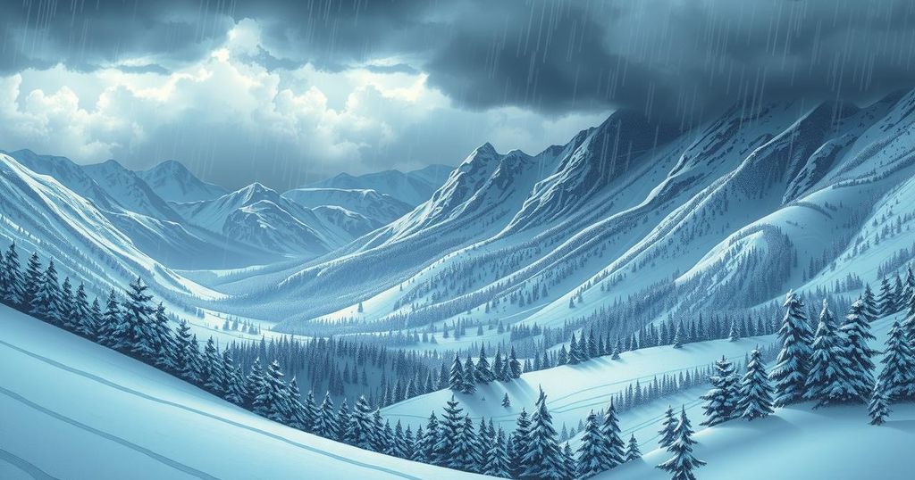
Montana will experience a shift in weather with heavy mountain snow beginning tonight and lasting through Wednesday, particularly affecting Butte, Bozeman, and Great Falls. Winter storm watches are in effect, predicting significant snowfall, with rainfall totals varying across the state. Temperatures are expected to rise by the weekend after a period of cold, stormy conditions.
A brief reprieve from rain and snow is anticipated this morning in Montana, but weather conditions are expected to worsen later today. Heavy mountain snowfall will begin tonight and persist through Wednesday, affecting regions such as Butte, Bozeman, and potentially Great Falls.
Winter storm watches have been issued from late tonight through Wednesday, particularly in central and southwest Montana, covering mountain passes from Kings Hill to Bozeman Pass. The Absaroka Beartooth and Crazy Mountain areas may receive between 8 to 14 inches of snow during this period.
This morning, rain and snow will not be organized, but they are expected to intensify throughout the day in central and western areas. An upper-level low pressure is causing a counterclockwise circulation, channeling moisture from Broadus through Miles City to Jordan, which increases the likelihood of rain and snow mixes in locations such as Great Falls and Glacier Park.
By Wednesday morning, Billings could experience a rain-snow mix extending to Miles City. The southern portion of the state is projected to receive the heaviest precipitation, generating accumulating snow in valleys and lower elevations. Rainfall estimates indicate up to a third of an inch in Billings, six-tenths in Miles City, and three-tenths in Great Falls; however, lower altitudes might only receive an inch or two of snow.
Current temperatures today will range from 54°F in Miles City to 48°F in Bozeman. The extended forecast suggests a continuation of below-average temperatures with possible rain or mixed precipitation each day. Warming is projected for next weekend, with temperatures potentially reaching the 60s.
Residents in Helena and Great Falls should prepare for inclement weather conditions persisting through Thursday, followed by a warming trend by the weekend. While tomorrow will bring cold temperatures and snow to Butte and Bozeman, forecasts indicate a rise to the 50s and 60s by Sunday.
In summary, Montana is bracing for significant winter weather impacting central and southwestern regions. Heavy snowfall is expected in the mountains, with winter storm watches issued for various locales. Rain and snow conditions are forecasted to escalate through Wednesday, with specific rainfall and snowfall predictions pointing to varying impacts across the state. A warming trend is anticipated for the weekend following the storms.
Original Source: www.montanarightnow.com


Post Comment