Weather
ANACONDA, ASIA, BITTERROOT, BOZEMAN, BULGARIA, BUTTE, CLIMATE, EUROPE, FLATHEAD, FLATHEAD VALLEY, FORECAST, GEORGETOWN LAKE, GLASGOW, HELENA, JORDAN, METEOROLOGY, MISSION, MISSOULA, MONTANA, NORTH AMERICA, PHILIPPINES, SEELEY LAKE, TEMPERATURE, THUNDERSTORMS, UNITED KINGDOM, UNITED STATES, WEATHER
Marisol Gonzalez
0 Comments
Severe Winter Weather Approaching Montana with Snowfall Forecasts
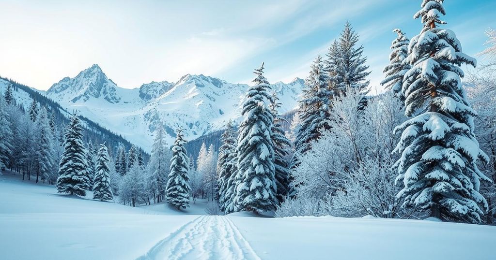
Montana is set to experience snowfall tonight and Thursday due to a cold front, with advisories in effect for several regions. Lower elevations may see 1-5 inches of snow, while higher areas might experience between 5-10 inches. Winds could gust up to 40 mph, but conditions are expected to improve by Friday, with warmer temperatures arriving this weekend.
Weather conditions across Montana are poised for significant snowfall tonight and into Thursday, with temperature variations reflecting a cold front’s influence. Currently, temperatures range from the lower 30s in north central Montana to highs in the 40s, 50s, and lower 60s in southern regions, indicating a drop of 5 to 41 degrees compared to yesterday’s readings.
Winter weather advisories and storm warnings are in effect for mountainous regions and populated areas including Butte, Bozeman, Helena, Anaconda, Georgetown Lake, and Seeley Lake. Snow accumulations are projected between 1 to 5 inches in lower elevations, while higher elevations may receive 5 to 10 inches, with some peaks in southwest Montana potentially seeing up to 20 inches of snow.
Current radar indicates snowfall along the high line of north central Montana, with lighter showers observed in the northwest and northeast regions. Additionally, wind advisories are issued for the Missoula, Bitterroot, Mission and Flathead Valleys. In these areas and northeast Montana, wind gusts could reach up to 40 mph this evening.
The approaching cold front is expected to usher in significantly colder air across Montana. By Thursday, nearly all regions, excluding far northern Montana, will likely experience snow and graupel showers. A reprieve from these conditions is anticipated on Friday, leading into a pleasant weekend with temperatures likely rising to slightly above normal values, which typically are in the 50s for this time of year.
Tonight’s temperatures are expected to dip into the 20s and lower 30s, with tomorrow’s highs projected in the upper 30s and 40s, reaching near 50 degrees in some locations. By Saturday, warmer conditions will prevail, with temperatures rebounding back into the 50s and 60s.
In summary, Montana is preparing for a significant winter weather event with snowfall and colder temperatures expected across many regions tonight and Thursday. While winter weather advisories have been issued for various locations, improvement in conditions is expected by Friday, followed by a return to milder weather over the weekend. Residents should prepare for changing conditions and fluctuating temperatures.
Original Source: www.montanarightnow.com


Post Comment