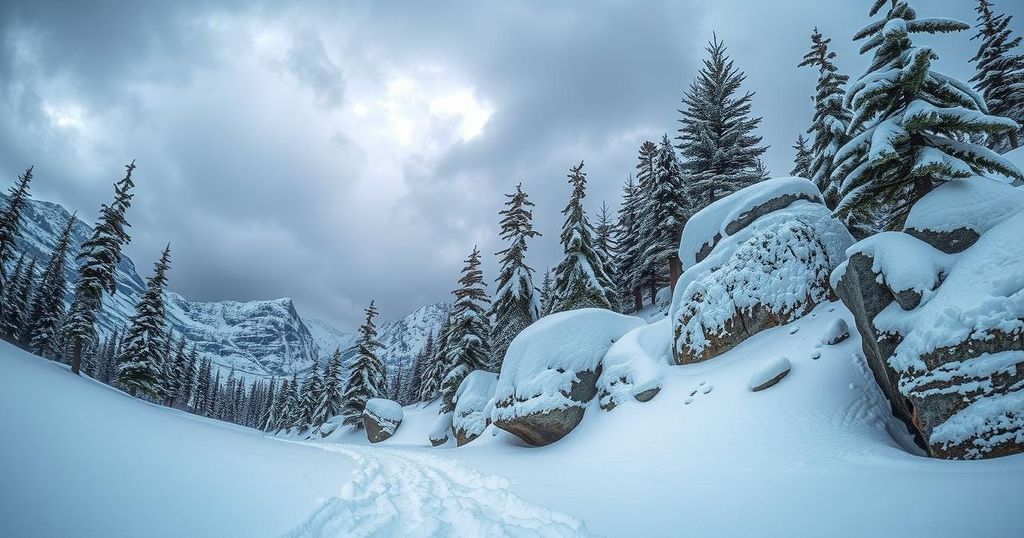
Heavy Snow Expected This Weekend in Glacier National Park
Montana is experiencing warm spring weather ahead of a major snowstorm this weekend in Glacier National Park. A high-pressure system is giving way to an incoming trough that will bring heavy snow and cooler temperatures, with a winter storm watch issued for the region. Tourists and residents are advised to prepare for significant changes in weather conditions.
Heavy snowfall is anticipated this weekend in Glacier National Park as temperatures in Montana shift dramatically. Today, the state enjoyed a warm spring day with temperatures reaching the mid 70s to mid 80s. Skies were mostly clear except for a few thunderstorms that occurred near the Canadian and North Dakota borders, and winds hovered between 5 and 15 mph, with gusts hitting 30 mph in Jordan. A high-pressure system was primarily responsible for the lovely weather.
However, the calm conditions will soon change. A moist southwest flow is set to sweep through Montana tomorrow, likely bringing afternoon thunderstorms, especially in the southwest regions, with the possibility of some strong storms. Following that, showers and severe storms may hit most of the state by Friday, foreshadowing a more turbulent weekend.
This weekend, a trough of low pressure originating near Seattle is expected to advance into Montana, resulting in a significant drop in temperature. By Saturday, conditions will turn considerably chillier, particularly in the western part of the state, and by Sunday, these cooler temperatures will affect the entire region. Tourists should take heed as heavy snow is projected for Glacier National Park during this time.
A winter storm watch has been issued, effective from Saturday afternoon through Sunday morning, predicting snowfall of up to a foot above 6,000 feet — affecting locations like Logan Pass — and up to four inches at elevations down to 4,000 feet. Additionally, a significant amount of rain is expected in northwest Montana, particularly in Flathead and Lincoln Counties, where two to four inches could accumulate.
Tonight’s lows are forecasted to dip into the upper 40s and 50s, while tomorrow’s highs will rise into the mid 80s to mid 90s. A stark cooler trend will then set in by Sunday, seeing high temperatures only in the 50s and 60s. It’s a drastic shift for the region, so residents and visitors alike should prepare for an abrupt transition in weather conditions.
As Glacier National Park braces for a considerable snowstorm this weekend, Montana is currently experiencing unusually warm temperatures. Transitioning from lovely spring weather to winter conditions, the state will see a significant drop in temperature and the arrival of storms. With a winter storm watch in effect, visitors are cautioned to remain vigilant as potential heavy snowfall could impact outdoor activities.
Original Source: www.montanarightnow.com


Post Comment