Florida Climate Center Reports on Hurricane Milton’s Surge Levels and Tornado Activity
Hurricane Milton impacted southwest Florida with notable storm surges surpassing those of Hurricane Helene, though still below Ian’s record levels. Flood stages reached up to 5.26 feet in Fort Myers, and 126 tornado warnings were issued statewide, marking a significant record. Comparisons with recent hurricanes reveal growing concerns regarding severe weather patterns in the region.
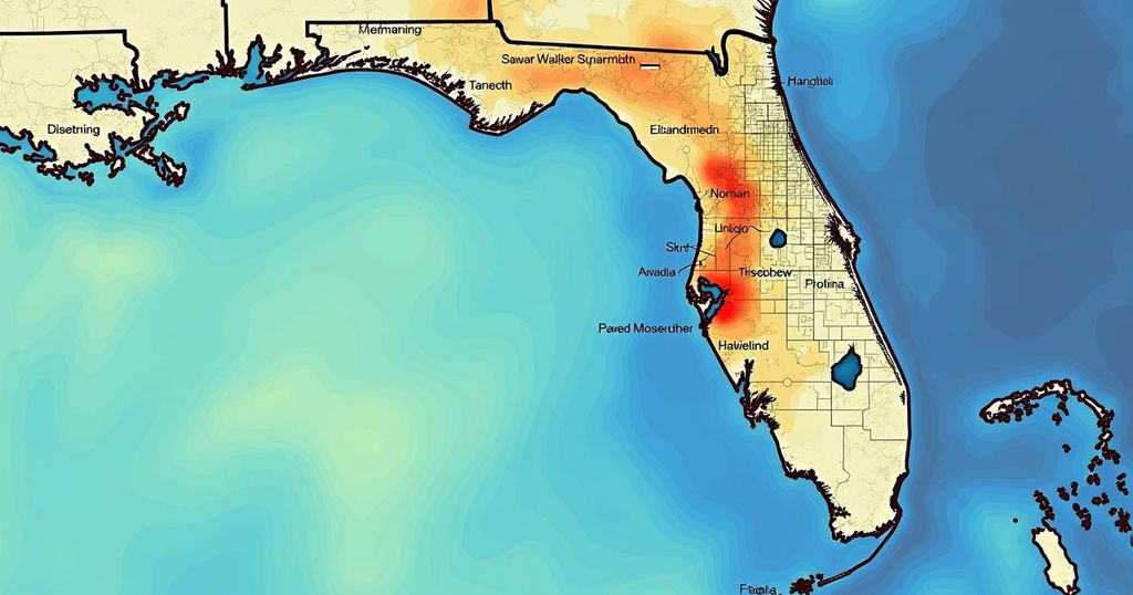
Following Hurricane Milton, a detailed analysis conducted by the Florida Climate Center provides significant insights into the storm’s impact on southwest Florida. Emily Powell, the assistant state climatologist, reported to the News-Press that the region experienced relatively moderate effects in comparison to previous storms. The most severe weather conditions were concentrated in the northern areas, particularly St. Petersburg/Tampa and Sarasota, while the heavy rainfall and wind spared many areas in Collier and Lee counties. The coastal tide gauges at Naples recorded major flood stage surges, with peak levels measured at 5.08 feet, surpassing the 4.02 feet noted during Hurricane Helene. Similarly, Fort Myers recorded a peak surge of 5.26 feet, which exceeded Helene’s peak of 5.12 feet; however, it remained below the record surge of 7.26 feet established during Hurricane Ian in 2022. Powell indicated that this places Milton, Helene, and Ian among the top three storm surge events in Fort Myers within a two-year period. Significant high water levels also emerged in southern Collier County, particularly near Marco Island, which peaked at 28.52 feet, and North Naples Bay reached a major flood stage at 5.08 feet, exceeding levels seen during Helene. In terms of tornado activity, Powell reported a record-breaking number of tornado warnings issued statewide during Milton, totaling 126, significantly exceeding the previous state record of 45 warnings set during Hurricane Irma in 2017. Collier and Lee Counties experienced four warnings, and Hurricane Helene earlier this month recorded the third highest warnings. Powell also noted that confirmation of the number and strength of tornadoes will require detailed damage surveys.
Hurricane Milton has prompted an extensive analysis by the Florida Climate Center, which is vital in understanding the storm’s impact, particularly its surge levels and tornado warnings. The context provided by recent hurricanes, notably Helene and Ian, establishes a framework for comparison regarding hurricane-related flood and surge levels. This information is critical for fostering awareness of the changing dynamics of storm intensity and frequency in Florida, particularly as severe weather becomes more unpredictable due to climate change. Furthermore, the recent uptick in tornado warnings emphasizes the need for continuous monitoring and preparedness across the state during hurricane season.
In summary, Hurricane Milton has resulted in significant storm surge levels in southwest Florida, with peaks notably surpassing those from recent storms, Helene and Ian. Moreover, the unprecedented number of tornado warnings reflects a concerning trend in severe weather activity in the region. Continuing assessments from the National Weather Service will be essential in evaluating the full magnitude of the storm’s impact. The data underscores the importance of preparedness in light of increased hurricane activity and associated tornado risks in Florida.
Original Source: www.news-press.com


Post Comment