Potential Tropical Storm Nadine Update: Declining Chances of Development
The National Hurricane Center reported a decrease in the likelihood of Potential Tropical Storm Nadine forming in the Atlantic, with current chances at 30% over the next two days and 40% over the next week. The system may impact the northern Caribbean islands with heavy rain and strong winds. Another area of concern in the western Caribbean has a lower development chance.
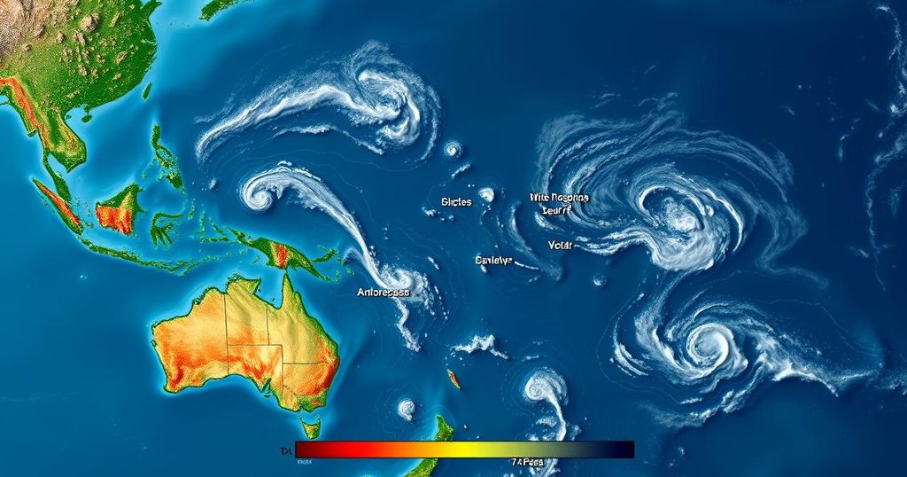
The National Hurricane Center (NHC) has recently updated its assessment of Potential Tropical Storm Nadine, indicating a decline in the likelihood of the system developing into a tropical depression over the upcoming week. Presently, there are no active named storm systems, although meteorologists caution that the 2024 Atlantic hurricane season continues until November 30, with conditions remaining conducive for storm formation. The low-pressure system, designated as AL94, originated off the west coast of Africa and has been under close observation by the NHC for several days. While there was initially an increasing probability of it developing into a named storm, the latest update indicates that these chances have diminished. As of Wednesday evening, the likelihood of formation within the next 48 hours stands at 30 percent, unchanged from the previous day. However, over the course of the next week, the system holds a 40 percent chance of developing, a decrease from 60 percent earlier this week. \n\nThe NHC stated, “Recent satellite surface wind data showed the circulation associated with a disturbance over the tropical Atlantic Ocean has become less defined since yesterday.” Additionally, it noted that the low-pressure trough continues to generate disorganized weather activity. The forecast suggests that the system will generally move westward to west-northwestward, with marginally favorable environmental conditions for potential development towards the end of this week. There exists a possibility that a tropical depression could form as it approaches the Leeward and Virgin Islands. Despite fluctuating predictions, AccuWeather’s lead hurricane forecaster, Alex DaSilva, expressed a strong expectation for development from the system, referring to it as a tropical rainstorm until it strengthens into a tropical storm. The latest forecast from AccuWeather predicts that this system may bring heavy rain and strong winds across several northern Caribbean islands, including Puerto Rico, the Dominican Republic, and Haiti, ultimately passing south of Florida, which is currently recovering from consecutive hurricanes Milton and Helene. In addition, the NHC is monitoring another area of concern in the western Caribbean, which currently has a lower chance of formation quantified at 20 percent over the next 48 hours, remaining the same over the following week.
The National Hurricane Center plays a crucial role in tracking and predicting tropical weather systems in the Atlantic Ocean. Each year, the Atlantic hurricane season poses challenges due to its dynamic nature and potential for severe weather. Monitoring systems like AL94 allows meteorologists to analyze early warnings for developments that could affect coastal population areas. As the season progresses, it is important to remain vigilant and attentive to updates from authoritative weather agencies, especially when conditions indicate a likelihood of storm formation, as these systems can change rapidly. The current status of Potential Tropical Storm Nadine reflects this unpredictable nature of weather forecasting.
In summary, the NHC’s recent update on Potential Tropical Storm Nadine indicates a reduced likelihood of the system developing into a tropical depression in the near future. While chances have diminished, meteorologists emphasize that the hurricane season is ongoing, and ongoing observation is essential. AccuWeather remains optimistic about potential developments, as the system approaches critical areas in the Caribbean.
Original Source: www.newsweek.com


Post Comment