NASA Satellite Insights Reveal Alarming Threats to Coastal Communities Due to Climate Change
In 2024, record-breaking temperatures and significant hurricanes underscored the dire consequences of human-induced climate change, prompting serious concerns about rising sea levels and their impact on coastal communities. NASA’s satellite technology provides critical data to monitor these changes, facilitating an understanding of increasing climate risks.
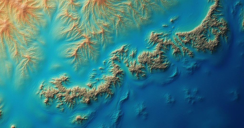
In 2024, the planet experienced unprecedented climatic extremes, with July recording the highest average temperatures in over 175 years, particularly highlighted by July 22 as the hottest day ever observed. This Northern Hemisphere summer set records for heat since around 1880, while also initiating a hurricane season that yielded Beryl, the earliest recorded Category 4 hurricane. Conversely, during South Africa’s winter, severe rainfall and freak storms—including unexpected snowfall—were noted. A troubling report released in June underscored the stark reality of human-induced climate change, confirming that global warming has reached alarming levels. According to Space.com, it is this climate change that drives catastrophic temperature rises, leading to the rapid melting of glaciers at “unprecedented rates,” which, in turn, is contributing to rising sea levels. This phenomenon endangers coastal communities and displaces numerous species from their natural habitats. Recent hurricane activity, such as Hurricane Helene and Hurricane Milton, which ravaged parts of the southeastern United States and South Florida respectively, is a stark reminder of the escalating power of storms that climate change exacerbates. Notably, South Africa’s coastal regions are experiencing increasingly severe weather conditions, exacerbated by a troubling cycle of floods and drought. In response to these changes, NASA and various space agencies are utilizing climate satellites to monitor the far-reaching effects of climate change on our weather systems. By employing satellite gravimetry—an advanced method of accurately measuring ice mass loss, ocean levels, and changes in groundwater availability—scientists are revealing the profound impact on coastal territories, emphasizing a heightened risk. Cedric David, a scientist at NASA’s Jet Propulsion Laboratory, remarked, “Satellites can see what we cannot with our own eyes: changes in deep underground water storage that would require us to dig deep in the ground to witness firsthand. That’s just mind-blowing.” This statement highlights the significance of satellite technology in climate inquiry. The Intergovernmental Panel on Climate Change (IPCC) has warned that sea levels could rise by 0.43 to 0.85 meters by the year 2100—predictions that may appear minimal but could lead to catastrophic outcomes for coastal areas. In light of this evidence, there is hope that data obtained from climate satellites will serve as a compelling basis for influencing policymakers towards implementing measures aimed at reducing pollution and mitigating climate change effects. David stated, “We’ve had a series of radar altimetry satellites circling around our Earth in constant operation since 1992 that have allowed us to see the undeniable: Oceans are in constant rise. The 30-year-long curves of sea level rise are unquestionable evidence that our climate is changing.” It is advised for residents in coastal regions to prepare for potential extreme weather by enhancing their homes’ resilience against climate impacts.
The topic of climate change, particularly its human-induced aspects, is critical in modern discourse as it relates to global weather patterns, environmental stability, and community safety. The year 2024 serves as a significant timestamp marked by extreme weather events and growing concerns over climate impacts. This context is crucial to understanding the urgency of employing scientific tools and data to assess and respond to climate risks, particularly in regard to coastal towns that are increasingly at risk as sea levels rise and storm intensity escalates.
In summary, the alarming climatic events of 2024 underscore the urgency of addressing human-induced climate change. The unprecedented rise in temperatures, the intensity of hurricanes, and the ongoing rises in sea levels present a clear crisis for coastal towns globally. The insights gained from advanced satellite monitoring systems are essential in highlighting these dangers, and their data must be leveraged to influence climate policy and community preparedness strategies to mitigate impending threats and enhance resilience against future extreme weather events.
Original Source: www.2oceansvibe.com


Post Comment