Weather
ADA, AFRICA, ARGYLE, ASHBY, BACKOO, BARRETT, BEMIDJI, CROOKSTON, DAKOTAS, DETROIT LAKES, DOMINICA, DRAYTON, DULUTH, EAST GRAND FORKS, EBRO, ENDERLIN, EUROPE, FARGO, FERGUS FALLS, GA, GATZKE, GRAND FORKS, HAD, HADLER, HALLOCK, HOFFMAN, IOWA, LAKE, LISBON, LONG LOST LAKE, METEOROLOGY, MIDDLE RIVER, MILNOR, MINNESOTA, MOORHEAD, MPR, NARY, NATIONAL WEATHER SERVICE, NEWFOLDEN, NIGERIA, NORTH AMERICA, PARK RAPIDS, PENCER, PORTUGAL, RADIUM, RAIN, RECREATION, RED RIVER VALLEY, REDBY, ROSEAU, ROSEWOOD, SALOL, STAPLES AIRPORT, THUNDERSTORMS, TWIN CITES, TWIN CITIES, TWIN VALLEY, UNITED STATES, WEATHER, WEATHER FORECAST
Amira Khan
0 Comments
Minnesota Weather Alert: Severe Thunderstorm and Winter Storm Watch
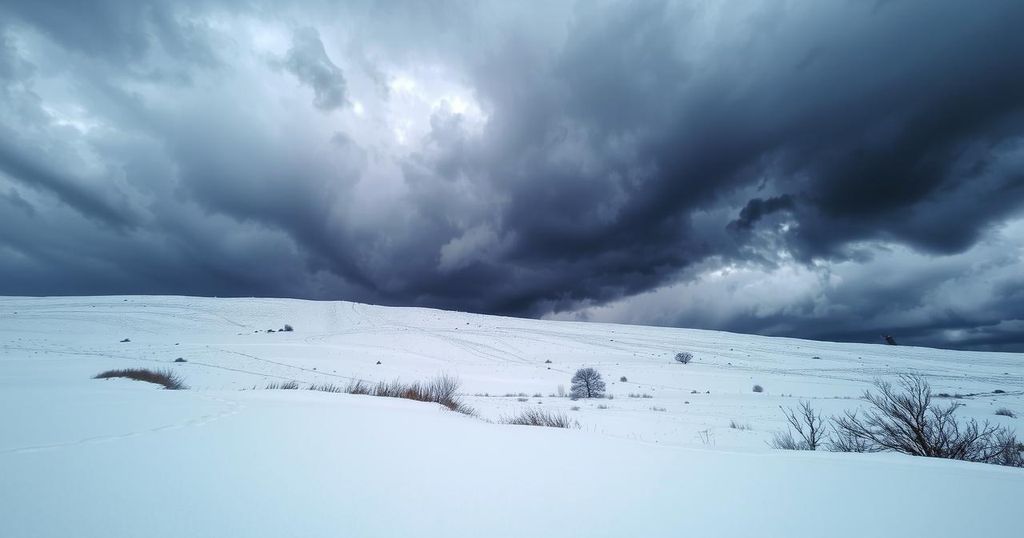
Minnesota faces a powerful storm on Friday, bringing severe thunderstorms and winter weather. Record warmth in the south may lead to rain and strong winds before snow and possible near-blizzard conditions hit late Friday night through Saturday. Significant travel impacts are expected in affected areas.
A powerful storm system is set to impact Minnesota on Friday, bringing a mix of severe thunderstorms and winter weather. Record warmth in the southern regions of the state, with temperatures possibly reaching the 70s, will precede rain, thunderstorms, and high winds before transitioning to winter storm conditions late Friday into Saturday.
The risk for severe weather will peak Friday evening, with thunderstorms expected to move into the state between 6 p.m. and 7 p.m. Amid the severe thunderstorm activity, the Twin Cities may experience thunder, lightning, and rainfall primarily between 8 p.m. and 10 p.m. Forecast models indicate snow could develop in western Minnesota and eastern Dakota regions as the evening progresses.
Severe weather is most likely across southern Minnesota. Storm intensity may diminish as they encounter more stable air and darkness. Areas to the north of the Twin Cities, toward Duluth, will face a marginal severe risk, while winter storm watches have been issued for western Minnesota from the Red River Valley to the Iowa border due to expected cold and snowfall.
From late Friday night until Saturday morning, near-blizzard conditions are anticipated. The National Weather Service has issued a winter storm watch for northwestern Minnesota, indicating potential snow accumulations of 1-6 inches, with isolated areas receiving up to 8 inches, and ice accumulations ranging from a glaze to 0.1 inches.
In west-central Minnesota, another winter storm watch notes total snow amounts may reach 2-4 inches with possible sleet and ice accumulations, alongside strong winds that could gust up to 55 mph, risking severe travel disruptions. The eastern region of Minnesota, however, is expected to receive little snowfall, with temperatures in the 20s and 30s persisting over the weekend.
In summary, a complex weather event is unfolding across Minnesota, combining the risk of severe thunderstorms and winter weather. Significant warm temperatures precede storms, but blizzard conditions could arrive subsequently, particularly in western and west-central Minnesota. Residents are advised to monitor the evolving situation and prepare for potentially hazardous travel conditions this weekend.
Original Source: www.mprnews.org


Post Comment