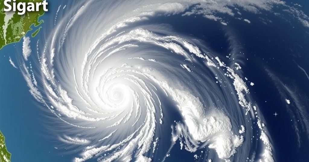
Tropical Depression Romina Enters PAR, Signal No. 1 Raised Over Kalayaan Islands
PAGASA has raised Tropical Cyclone Wind Signal No. 1 over the Kalayaan Islands due to Tropical Depression Romina entering PAR. Romina is currently moving north-northeast at 30 kph, with maximum sustained winds of 55 kph. Coastal areas are warned of rough seas, with wave heights expected to reach up to 4.5 meters. The storm may intensify briefly but is likely to weaken thereafter.
On December 22, the Philippine Atmospheric, Geophysical and Astronomical Services Administration (PAGASA) officially raised Tropical Cyclone Wind Signal No. 1 over the Kalayaan Islands due to the entry of Tropical Depression Romina into the Philippine Area of Responsibility (PAR). At 11 a.m. on the same day, Romina was reported to be positioned approximately 365 kilometers south of Pag-asa Island in Kalayaan, Palawan, and was moving towards the north-northeast at a speed of 30 kilometers per hour. The system possesses maximum sustained winds of 55 kilometers per hour and gusts reaching up to 70 kilometers per hour.
Signal No. 1 serves as a warning of potential minimal to minor impacts from strong winds, particularly affecting coastal and upland areas exposed to prevailing wind directions. PAGASA has indicated that winds in these locations may be stronger than in more sheltered areas, and if Romina’s intensity increases, Signal No. 2 may be issued as the highest alert.
According to PAGASA, wave heights of up to 4.5 meters are expected along the coastlines of Batanes, Babuyan Islands, Ilocos Norte, and Kalayaan Islands, placing mariners at risk. As such, they are strongly advised to remain in port or seek immediate refuge if they are already at sea. Additionally, other areas susceptible to rough seas include the northern and eastern seaboards of Polillo Islands, Catanduanes, and parts of the provinces of Camarines Norte and Camarines Sur.
The projected path of Romina indicates a move toward the north-northwest and then west-northwest within the upcoming days. It is anticipated to pass near the southern part of the Kalayaan Islands within a 24-hour timeframe. While the system may temporarily strengthen into a tropical storm within the next 12 hours, forecasts predict it will revert to a tropical depression afterward.
Tropical cyclones are a recurring weather phenomenon in the Philippines, with the country frequently experiencing various tropical storms and depressions due to its geographical location in the western Pacific Ocean. PAGASA is tasked with monitoring these weather disturbances and issuing timely warnings to mitigate potential impacts on communities, especially in vulnerable coastal areas. Signal No. 1 is a preliminary warning indicating that residents should prepare for possible adverse weather effects, thus underscoring the importance of public awareness and safety measures during storm events.
In summary, the elevation of Tropical Cyclone Wind Signal No. 1 over the Kalayaan Islands signifies the potential for strong winds and rough seas as Tropical Depression Romina approaches. Mariners and residents in affected areas must heed the advisories issued by PAGASA to ensure safety and preparedness. The monitoring of Romina’s trajectory underscores the necessity of remaining vigilant during the storm season as the Philippine archipelago frequently faces the threat of tropical weather systems.
Original Source: www.philstar.com


Post Comment